JEINIMENI, CHACABUCO & TAMANGO: Connecting a Future National Park
Text: Justin Lotak; Photos: Justin & Andreea Lotak · 10 min read
The unbelievable color of Lago Verde in Jeinimeni National Reserve, part of the future Patagonia National Park
Wild rivers, rugged mountains, free-roaming guanacos, wind-swept grasslands, rarely-seen huemuls, colorful deciduous forests, prowling pumas, pristine lakes, hidden glaciers, soaring condors and a robust park infrastructure: this is what makes up the future Patagonia National Park.
In late March of this year, we arrived at the beautiful Chacabuco Valley in the Aysén Region of Chilean Patagonia. This valley was purchased by Conservacion Patagonica, the organization founded by Kris and the late Doug Tompkins, so that it could be conserved for its rich biodiversity and enjoyed by future generations. Along with the Jeinimeni National Reserve to the north and the Tamango National Reserve to the south, the Chacabuco Valley will become part of the future Patagonia National Park, a 640,000 acre conservation area that is sure to be a focus for sustainable tourism in the coming years. And on March 15th, just before our arrival, Kris Tompkins and Chilean president Michelle Bachelet signed the accord that marked the start of the process to create this new national park, add four other new national parks and expand three existing ones, all in Chilean Patagonia.
Chacabuco Valley, the heart of the future Patagonia National Park
THE NATIONAL PARK
What it is: the future Patagonia National Park will combine three existing conservation areas: the Jeinimeni National Reserve, the Tamango National Reserve, and the privately-owned Patagonia Park which sits between the two national reserves.
Jeinimeni National Reserve is a ~400,000 acre area just southwest of Chile Chico and consists of snow-covered mountains, glaciers, rivers and valleys. The terrain is rugged and wild, and adventure seekers definitely won't be bored hiking through this remote landscape. Fauna include gray fox, guanaco, huemul, Geoffroy's cat, common kestrel, condor, and black-throated huet-huet, among others. Flora includes lenga, ñirre, coigüe, and calafate, and the trees in the fall engulf the mountain sides with oranges, reds, and yellows.
Tamango National Reserve, also known as the Lago Cochrane National Reserve, is a 20,660 acre nature reserve that lays only 4 miles northeast of the town of Cochrane. The reserve is bordered by Lake Cochrane and the Cochrane River to the south and Patagonia Park to the north. The reserve is special for its conservation of the endangered huemul, or south Andean deer (Hippocamelus bisulcus), and there are several trails one can easily access via a short walk from Cochrane.
Patagonia Park is a ~200,000 acre private conservation area currently owned and managed by Conservacion Patagonica. Formerly it was a sheep ranch, or estancia, and for about a century, different owners grazed sheep throughout the large Chacabuco Valley, struggling to turn a profit. After being identified as an area with a high potential for biodiversity, Conservacion Patagonica purchased the land and began restoring it to its natural state. Most of the sheep were removed, along with fences and invasive species. Native species were planted and, over the years, the ecosystem has been coming back through the help of local park workers and volunteers. Large herds of guanacos roam the open valley, and it is quite easy to spot condors, ñandus (on the eastern end), viscachas, flamingos, armadillos, and numerous species of birds. For those that are familiar with other areas to the north or south in Chilean Patagonia, they will find that the ecosystem of this valley is much different. It is drier and much more open, making wildlife viewing easy. Some are starting to call this project the "Yellowstone of South America" due to its potential for seeing rich biodiversity that is unique to the region. If you are interested in volunteering at the park, most of the main volunteering program of building trails and removing fences has finished, but they still occasionally offer various volunteering positions for teaching english and working in their incredible organic garden. You need to apply well in advance of arriving; see their website for details.
Together these three conservation areas will be joined to form what will become the Patagonia National Park. It will be easily accessible from the Chilean towns of Cochrane and Chile Chico, with Coyhaique as the nearest major city and Balmaceda as the nearest airport. Over the years, the park has received a lot of attention through various Patagonia (the clothing store) catalogs, significant news coverage regarding the conservation work of Kris and Doug Tompkins, as well as from two documentaries: 180° South and Mile for Mile. It will increasingly become a must-see for many people's Patagonian itineraries, and we invite those interested in conservation-based tourism to learn more about the creation of this park from our other blog posts.
CROSSING THE PARK:
Our visit: during our first week at Patagonia Park, we had the chance to talk with several of the people involved with the park’s creation, including its organic garden, the lodge and tourism facilities, the return of biodiversity within the region, and the many trails that have been built throughout the valley. We did day hikes of the easily accessible Lagunas Altas trail, as well as the more remote Los Gatos trail, which Justin helped build as a volunteer in 2013. Lagunas Altas is a 14 mile (23 km) all-day hike, ascends Mt. Tamanguito behind the main park offices, and passes several small lakes high up in the mountains. Spectacular views of the valley and of the surrounding mountains are abundant along the trail and, although it is somewhat strenuous due to its length and a few steep areas, we highly recommend this trail to anyone visiting the park. A GPS track of the Lagunas Altas trail can be downloaded here. Los Gatos is a much shorter day hike of about 8 km round trip, although some of the facilities near the trailhead were still being built when we were there. This path starts in a forest and heads down a smaller yet also beautiful valley towards the blue waters of Lake Cochrane. Pumas are more abundant in this area of the park, though you would be lucky to see one. And if the clouds permit, views of San Lorenzo to the south are well-framed with the way the trail is laid out.
Just after beginning to feel a little at home in the park, we left for the city of Coyhaique to meet up with Chulengo Expeditions, a new guiding company created by Nadine Lehner. With them we were going to do an eight-day traverse of the Jeinimeni National Reserve and Chacabuco Valley. We were to start on the north side of Jeinimeni and hike south to the Chacabuco Valley, and then make our way west towards the park offices.
The trip was considered a pilot trip, given that this was the company’s first year operating, but Nadine had previously worked with the Tompkins for several years as their Executive Director and was based in Chile. She became familiar with the wild backcountry of the future Patagonia National Park, learning the rivers, the mountain passes, and the terrain through which we would spend eight days navigating.
Once the group was assembled, we first took a small private bus from the town of Chile Chico to the entrance of the Jeinimeni National Reserve, debarking just at the northeast side of Lake Jeinimeni. After distributing the food among our packs, we set off on our hike. The weather was cool yet dry and looked promising, especially given that the previous days consisted of temperatures hovering around freezing, with wind and a wintry mix of sleet and snow. I think the entire group was wondering how we were going to cross rivers with the weather that had been passing through, but thankfully all our river crossings were either in the sun or with a partly cloudy sky.
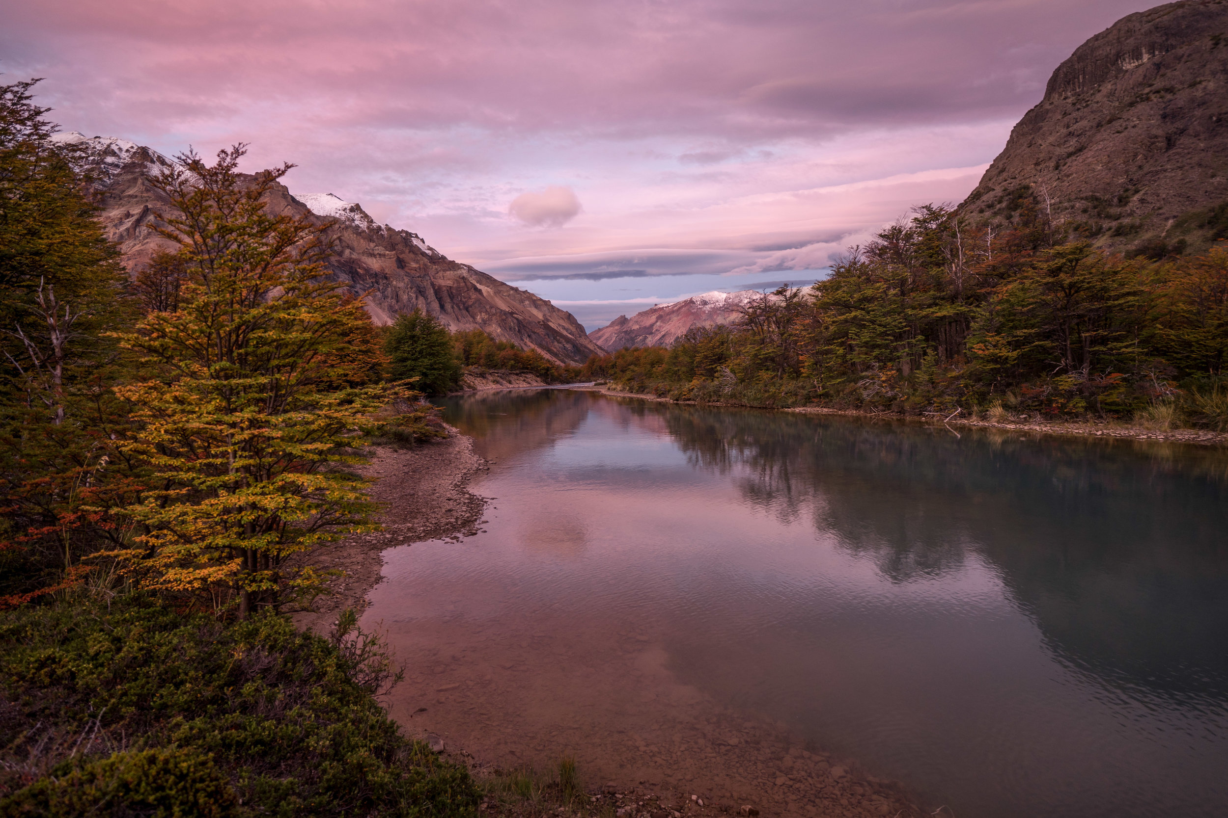
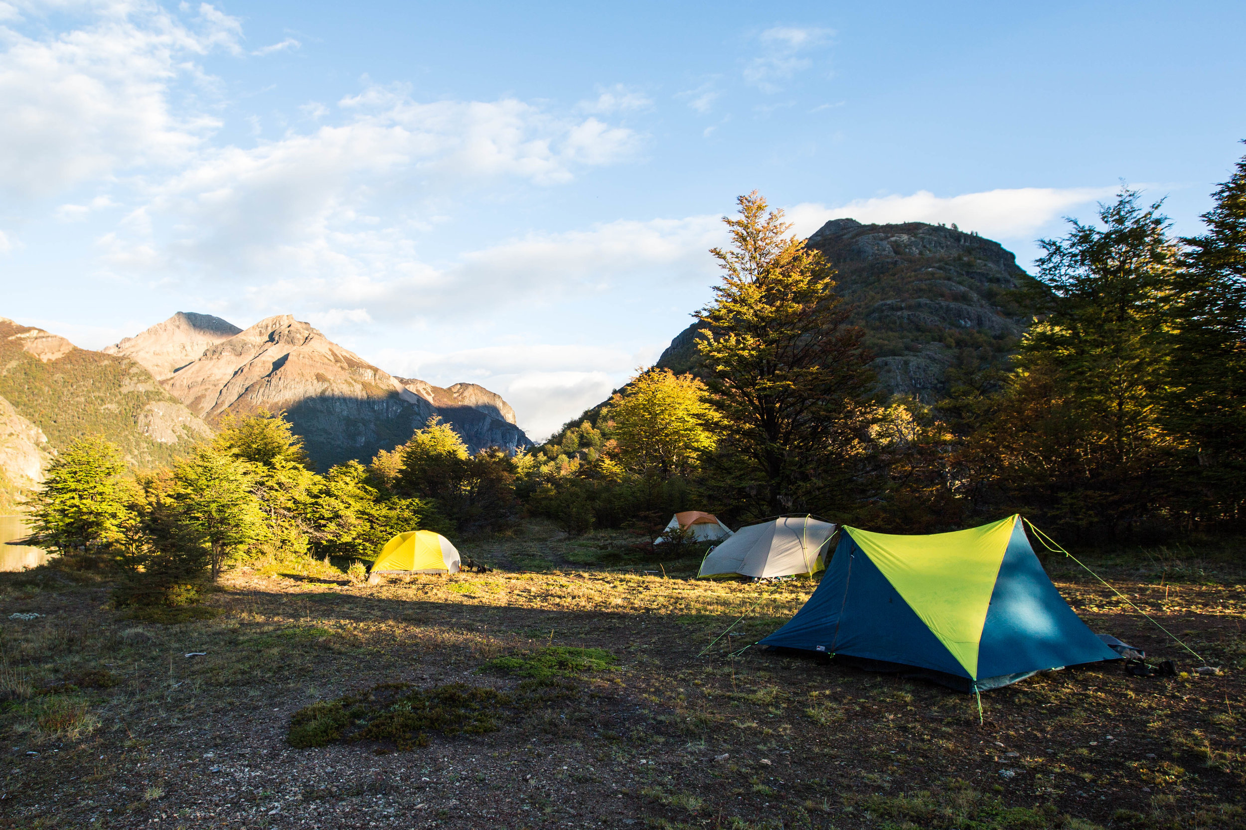
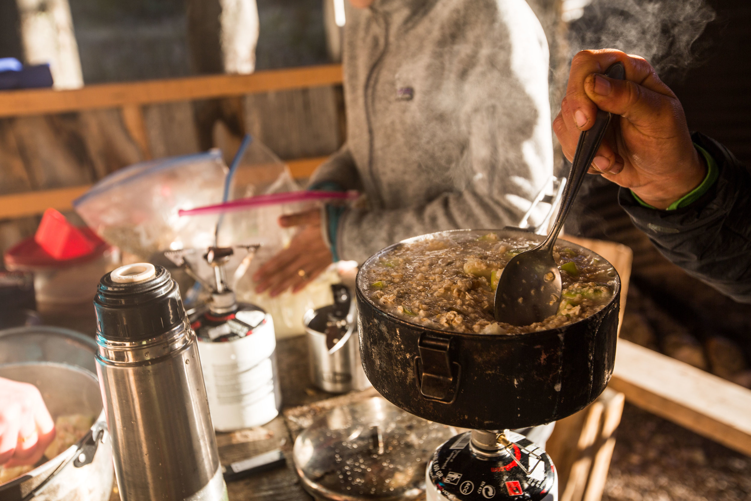
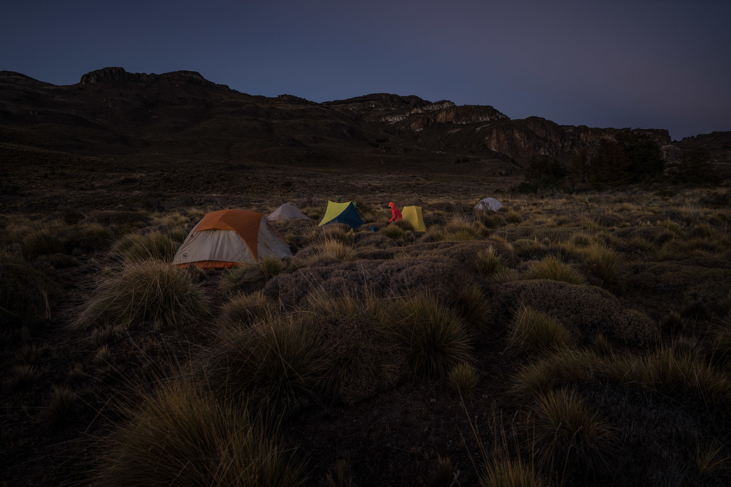
Our first river crossing was just before reaching the first camp, to which we arrived as the sun was beginning to duck behind the mountains, lighting up the sky with brilliant reds, pinks and purples, making for one of the more spectacular sunsets any of us had seen. We got there in great spirits, set up our tents, and cooked a wonderfully delicious meal of well-stuffed burritos. At night, we discussed the challenges we came across throughout the day and the things we observed and learned, giving us all an opportunity to share our personal experiences with the rest of the group. It was our nightly routine before retiring to our tents, and a nice way to close out each day.
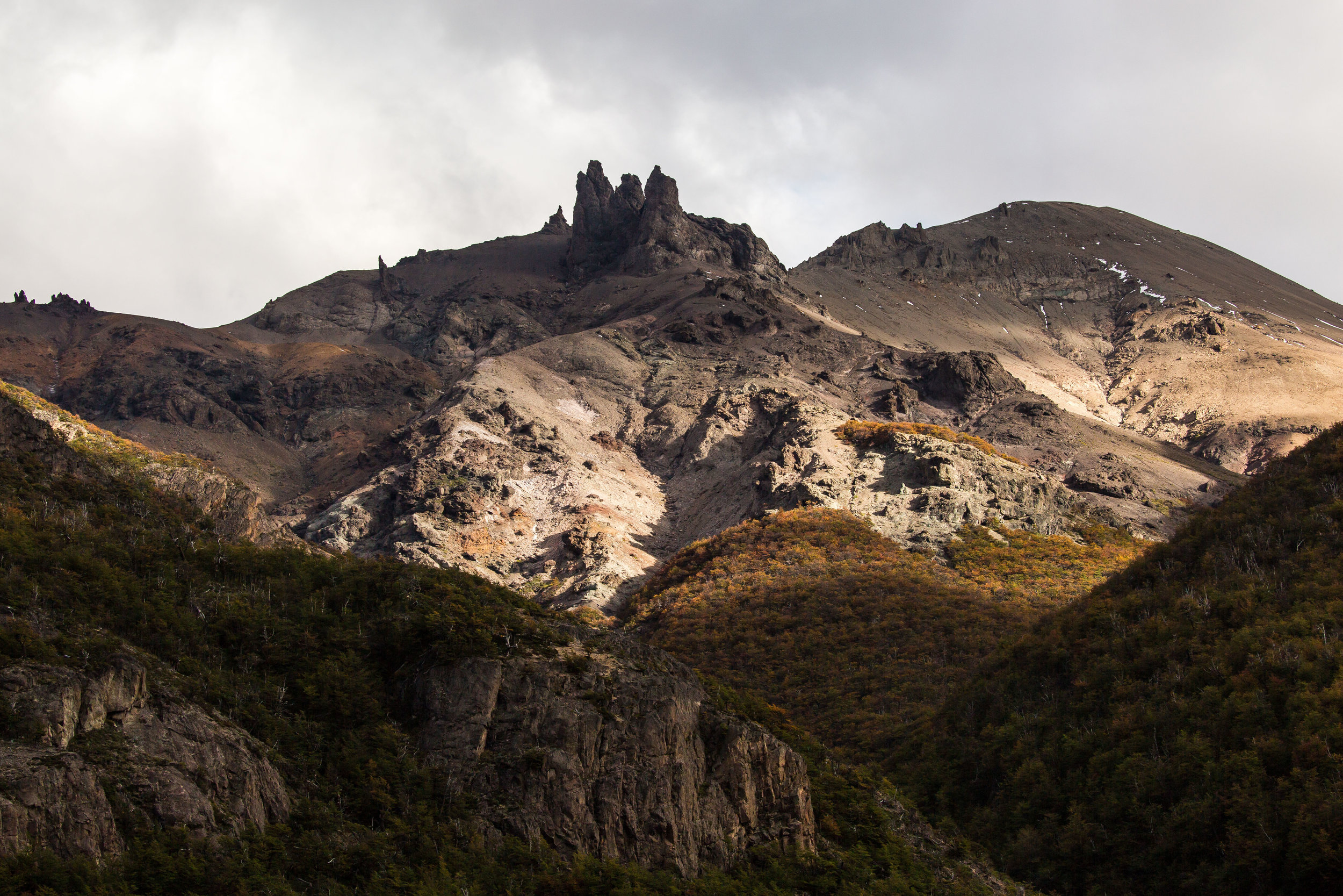
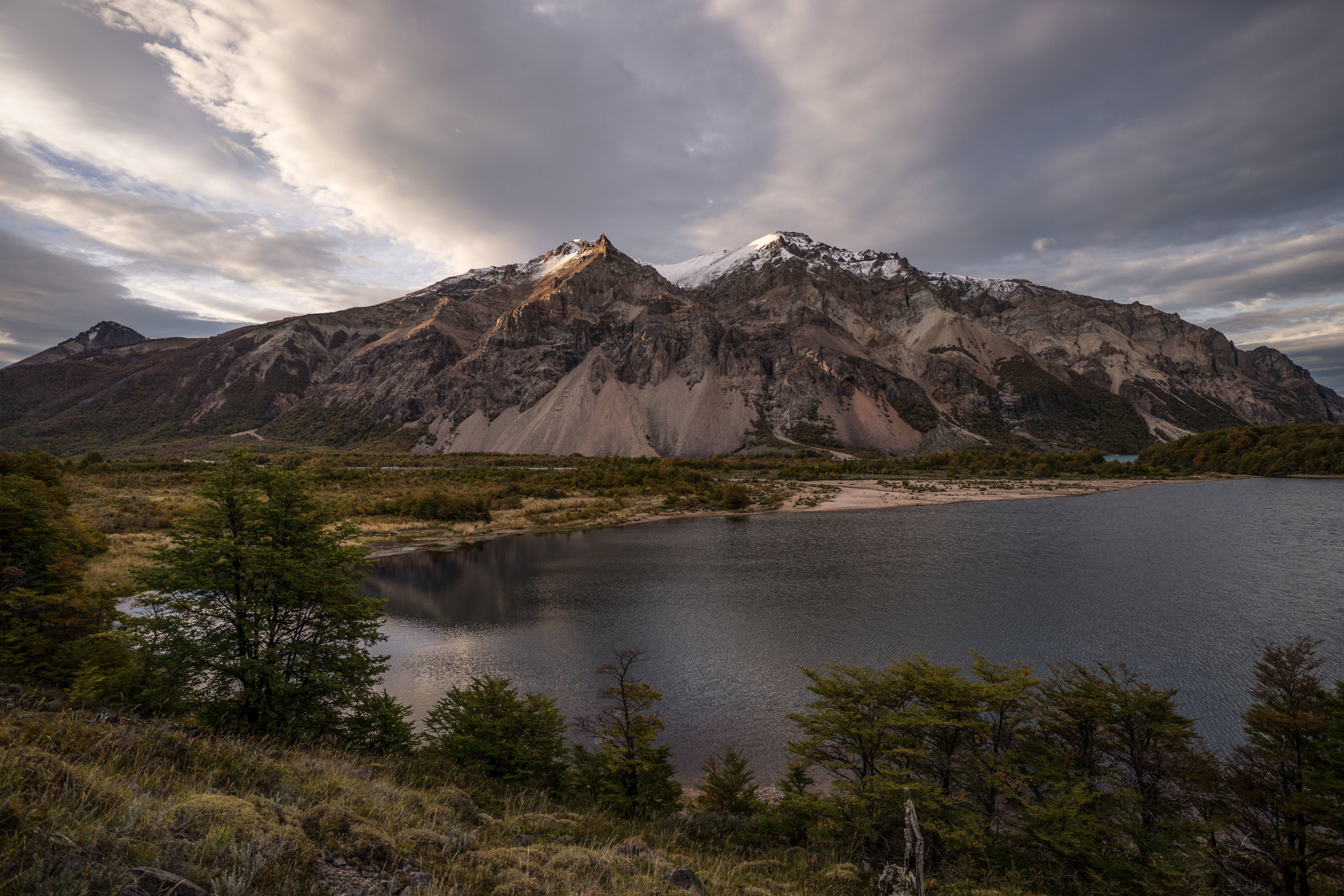
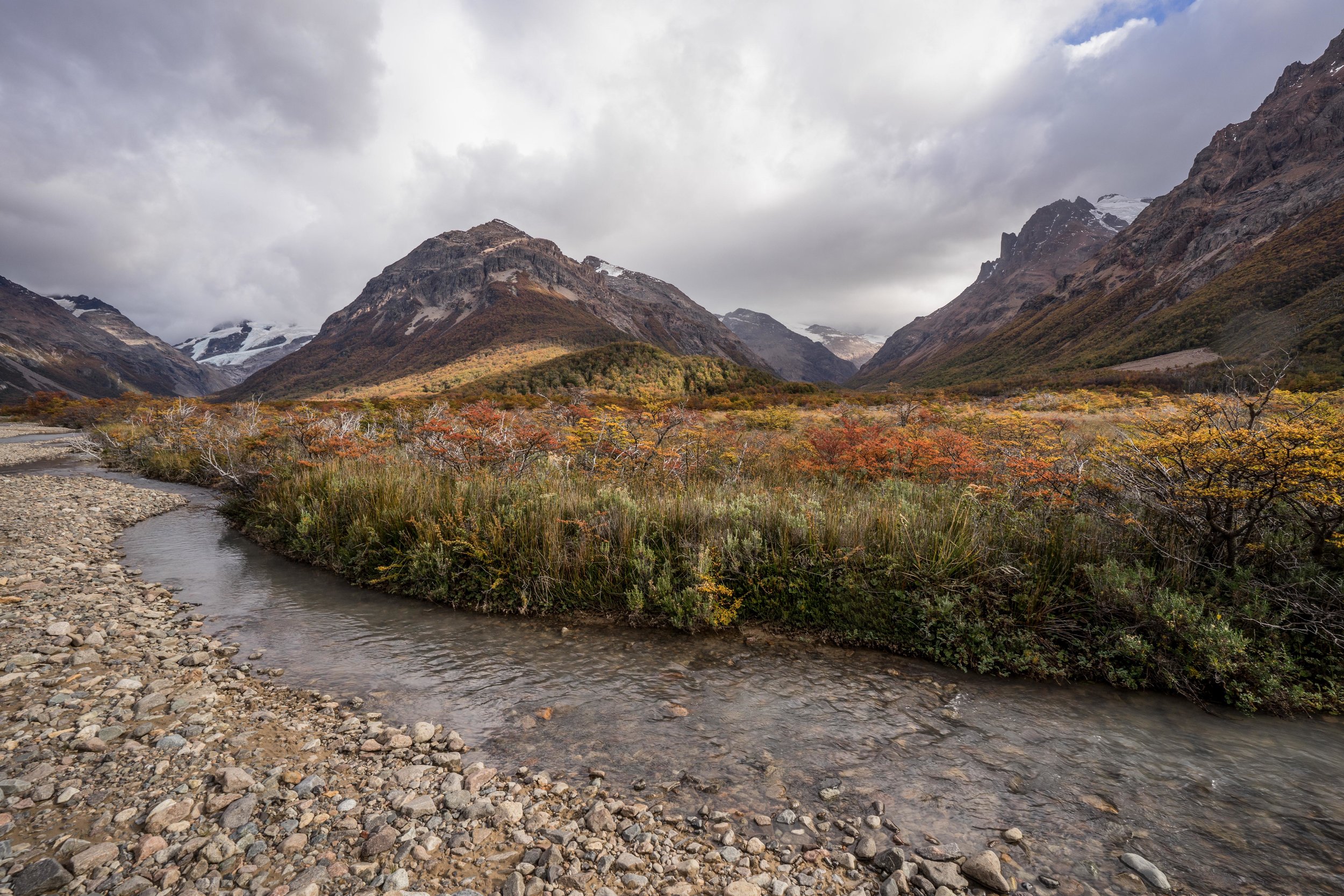
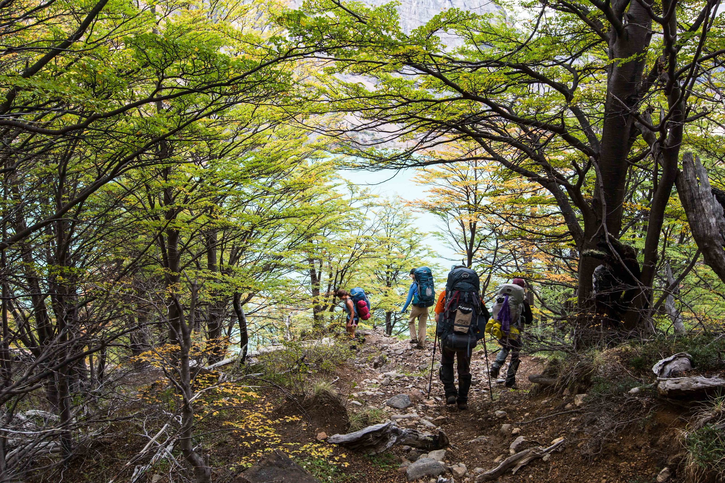
The scenery of the Jeinimeni National Reserve was impressive. Jagged mountains with relatively flat valleys in between, full of color from the trees’ autumn leaves and turquoise glacial rivers. The light would cast incredible shadows on the rocky mountains, causing them to appear friendly and ominous all within a few minutes. We followed the river upstream that flowed through the Hermoso Valley, wading across its cold waters on several occasions and eventually making it to where our route would lead us up across a mountain pass. Here we crossed into the Aviles Valley and into the land being restored and conserved by Conservacion Patagonica. The autumn colors and the warm light continued to amaze us throughout the route. For those visiting Patagonia Park, there is a longer day hike called the Aviles Trail which runs up this valley and is 10 miles (16 km) in length.
As the days went by, we noticed how different the ecosystems were here compared to anywhere else we’d be in Chilean Patagonia. In the Chacabuco Valley, the dry Patagonian steppe that is common in Argentina makes its way into Chile. Guanacos roam free, lesser rheas can be found in the eastern side of the park, armadillos wander through the grasslands, and various bird species are easily seen in the open valleys. The ecosystems and abundant wildlife are truly what makes this future Patagonia National Park special and are what will put this conservation destination on the itinerary of many future travelers.
We crossed over the Chacabuco Valley and into the southern section of Conservacion Patagonica's land, usually camping near cold lakes. The rocky hills were mostly grass covered with the occasional guanaco peeking over a crest to keep an eye on us, and condors were often circling overhead. Although we never saw one, we came across several signs of pumas including scat, footprints, carcasses of kills, and even a small cave which had several guanaco bones inside. There were many sections of the various valleys through which we walked where you could almost feel that there was a large cat perfectly camouflaged up in the rocks somewhere, watching you.
Over the course of the eight days, we hiked a total of 51 miles (83 km), and aside from the multiple river crossings and a slight drizzle on one morning, we kept dry. We also had grown close as a group by the time we arrived back in the main Los West Winds camping area of Patagonia Park. The group expedition was a different kind of experience for us, compared to almost all our backpacking trips where it is just the two of us. Having a guide provided an opportunity to learn new outdoor skills and to point out some of the history and special features of the landscape. It was also a great way of getting to know a group of new people; you spend lots of hours walking alongside people conversing and learning about their lives back home. We would highly recommend a guided trip for those interested in taking on a lengthy backpacking trip across unfamiliar terrain, and Chulengo Expeditions provided an insightful and informative way of experiencing the wild backcountry. Aside from the added safety from hiking with a group, going with a guide that is familiar with the land can help you appreciate more of the place through which you are trekking.
Below you’ll find a short selection of photos from those days partaking in the Chulengo Expeditions trip:
Greeted by some of the most impressive scenery in the Jeinimeni National Reserve, right at the start of the hike
Sunset at the first river crossing of our trip with Chulengo Expeditions
Two male guanacos sparring for dominance
A very rare sight: dominating the other mountains in the region, the San Valentin Mt., tallest in Chilean Patagonia, shows itself for a short moment before getting behind the clouds again.








On a land destined to be logged, some of the most pristine valdivian temperate forests are now protected by this Nature Conservancy reserve. With its rugged coasts, ancient trees, impressive sand dunes, and local culture, it is a beautiful place to explore. Interview with Liliana Pezoa, administrator of the reserve.